
|
|---|
02 Oct 2023 - Cartography and everything in relation to it
Can’t think of a clever title, so fuck it, this is the model number for the A/C intake behind my house.
Going a bit slow lately, sincerest of apologies. I haven’t had much motivation to really commit myself to any of my projects lately so it’s just been kind of a slog. I managed to break the random image population scripts on the site too, which sucks because I realized I haven’t been making git commits every time I pushed stuff to neocities through their CLI tool. The working script is gone now. So that blows.
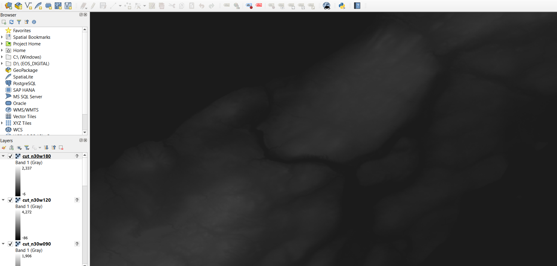
But yeah, studying for technical writing and math killed my mapping mojo. I’ve pushed my recent work from qGIS to that fileshare thingy again though. More of that soon! Hoping to get bathymetry in soon, especially since one of the most interesting features of the land here is the water. That and the weirdly low PH of the soil. Strange occurences!

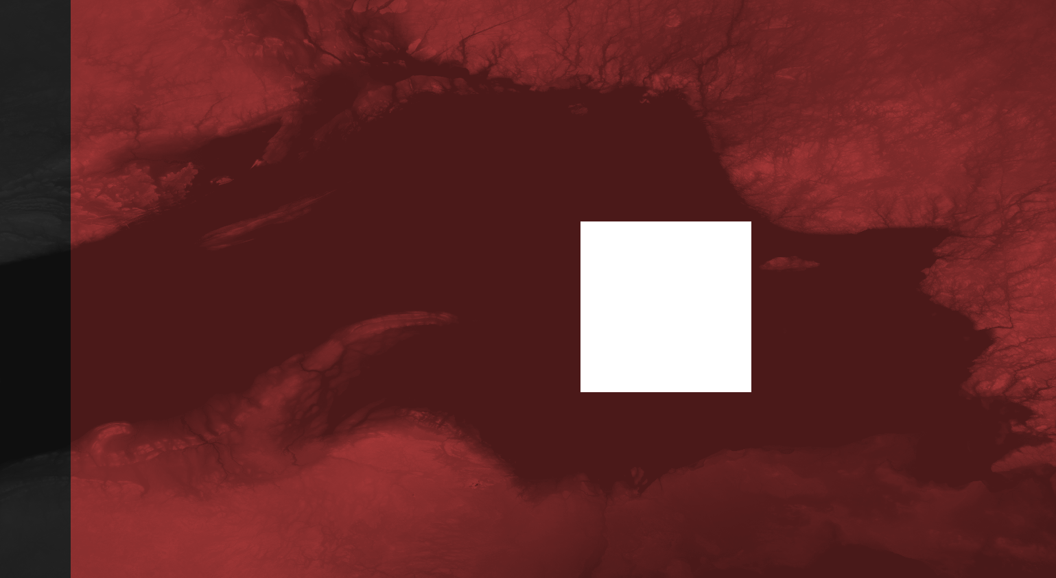
If I could go back in time and punch myself in the face for even thinking of using this scan I would pay top dollar for the chance. I mean, they left a whole fucking chunk out of lake superior??? How???

I might be replacing my raster topo layers with some neat satellite maps, courtesy of the russian METEOR M2-3 program. I’m told intercepting and decoding the radio signals for that satellite is quite easy, and the images are pretty high in resolution. Combining radio and cartography, my favourite hobbies.
I don’t even really need topographic layers for what I’m doing anyway, I never mark contour lines on any of my maps, and the only reason I even used topo layers was because certain features were more accurate than traditional maps. Like coastlines, and… well, coastlines. The replacement of these layers will mean more recent changes to the surface will be included, so that’ll be neat.
But yeah. I’ll be sitting here until METEOR makes a good pass over my house. With my tinfoil hat and EMF detector. Until next time!